(Ἑνα ελληνικὁ κεἱμενο βρἱσκεται στο κἁτω μἑρος της σελἱδας.)
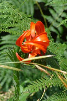
This is the wildest part of The Pindos Way, even less populated than the others. There is a lot of forest; the normally ubiquitous Greek fir or élato gives way to the Black Pine and beech and, between 1500m and 2000m, to the almost indestructible Balkan Pine – róbolo in Greek. You follow and cross two big ravines, of the Aöós and Sarandáporos rivers, and two of the country’s biggest mountains, Smolikas, at 2637m second only to Mt Olympus, and Grámos at 2520m smack on the Albanian border.
A good chunk of the route falls within the National Park of the Pindos and there is a park office as you enter Métsovo from the main road. It publishes a diagrammatic map of the Park’s footpaths which has never been updated and no one has ever bothered to see whether the paths are still workable, so you can comfortably give that a miss. Luckily, my friend Apostólis Tsimpanákos has just (August 2017) cleared and re-signed the whole stretch between Vovoúsa and Samarína, which had long been one of the hardest to navigate.

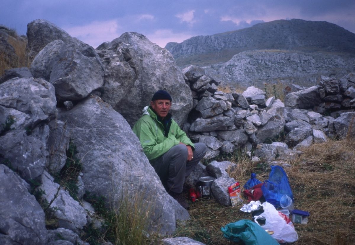
Aside from the wild beauty of the section, the going is nearly all on paths, with very little road work, except unfortunately for the first ten or twelve kilometres out of Métsovo. It is possible to walk it but there is no obvious path across the wide Politsiés meadows above the town and there are a lot of sheepfolds with dogs there in summer. For the moment at least, it is best to get a taxi to take you up to the start of the track that leads to the Mavrovoúni refuge. If you stay at the Egnatia Hotel on the main street, which we recommend, you can ask them and they might even take you themselves.
Moving on north
From the east side of the Aöós lake a track leads up past the Mavrovoúni mountain refuge hut, invariably locked but with a useable porch, on to the ridge of Mavrovoúni


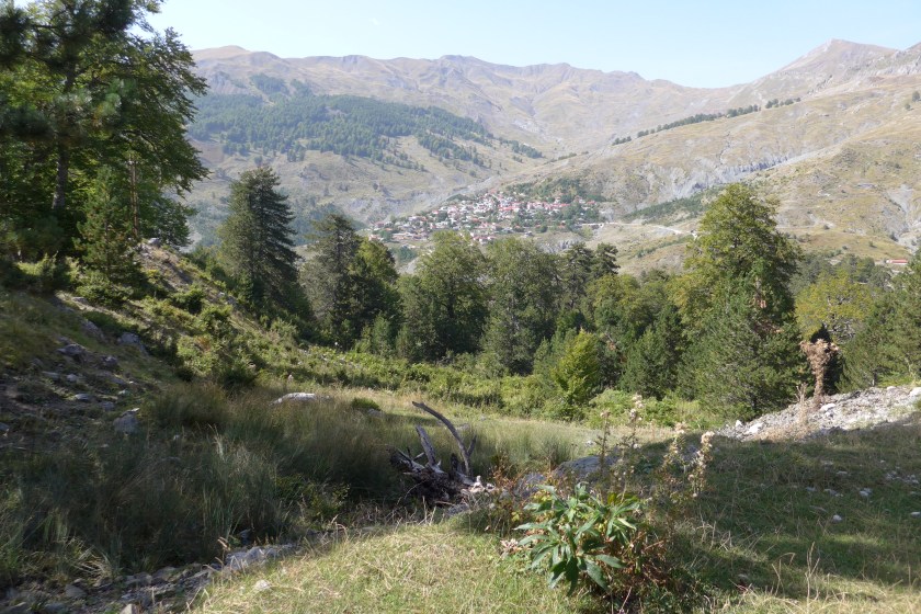
which you follow pretty much on the level for a couple of hours, before passing the two gem-like tarns knowns as the Flénga lakes and descending into the thick forest of the Warm Valley, the Vlach-named Vália Kálda, where you follow the Bear River, Arkoudhórema, downstream to its junction with the infant Aöós and then the conjoined streams down to the Vlach village of Vovoúsa, which unusually for a Vlach village had little to do with sheep and much to do with timber, which given that forest is all you can see for miles around is hardly surprising. There are rooms and plenty of flat ground for camping at the northern edge of the village. This is all part of the “international” E6 route.
Possible loop west to include Mt Gamíla and the Zagóri region in your itinerary
The Zagóri is a self-contained region on the southern slopes of the treeless but dramatic Mt Gamíla. Like impoverished mountain peoples in other parts of Europe its menfolk had to emigrate to maintain their families, becoming merchants and itinerant specialist builders, only returning home from time to time to sire children and build imposing houses with the money they had earned. The Zagóri is a museum of such magnificent buildings, the finer ones with elaborate painted wooden ceilings, misándres (sort of built-in painted cupboards) and, in the old days, ondádhes (from the Turkish word for room) – reception rooms – where guests reclined on a kind of wooden dais strewn with home-woven rugs and cushions.


You can make a circular tour of the massif in about a week taking in the renowned Víkos gorge and several of the best villages (all with comfortable accommodation in often beautiful houses, most particularly in Pápingo where the Saxonis Hotel is run by Vasilis Nasiákos, himself a mountaineer and connoisseur of the Gamíla trails, and the Khristodhoúlou Guesthouse now run by the sons of Koúlis, the man who for years looked after the Gamíla refuge and did more than anyone to promote mountaineering in this part of Greece). You come down at the little mountain town of Kónitsa where the Aöós emerges from its gorge and flows out across the plain to Albania, where it eventually pours into the Adriatic. It has hotels, banks and bus connections back into what an old friend used to call “modern” Greece, when explaining to people where I, a classics student, had disappeared to in my student summer holidays. It is overlooked by a steep conical peak called Trapezítsa, where during the 1946-49 Civil War the Communist insurgent army set up its artillery pieces to besiege the town in an attempt to make it their capital and the capital of what they called “free” Greece.
You can either end your Píndos Way here or rejoin the main route at Palioséli, some 25km east up the Aöós gorge on a little used tarmac road with magnificent views of the Alpine crags of the north face of Gamíla.
The main route from Vovoúsa
As far as Dhístrato, the next village north, the route is half forest track and half footpath, still on the E6 and all recently cleared and re-signed by Apostólis. The route follows the east flank of the Aöós for a couple of hours, to continue north where the Aöós swings westward, taking you up through open pine forest over the Skríou ridge where you get your first view of Smólikas, Greece’s second highest peak.


Dhístrato (many locals still use the Vlach name Briáza) has rooms and tavernas. Go to the Briáza café on the square. Yiórgos Pafílis who runs it has been involved in clearing the path from Vovoúsa and on to Samarína. He is keen on encouraging walkers and will help you out with anything you need.
The onward path to Samarína climbs along the west flank of a deep tributary gorge of the Aöós through magnificent pine forest. Opposite on the slopes of Smólikas you can see the enormous extent of destruction wrought by a forest fire in 2001, probably started by an Albanian camp fire. All through the ’90s, after the collapse of its Communist regime, thousands of poverty-stricken Albanians poured illegally into Greece, taking the paths through the woods and along the rivers to avoid being caught by the police. They were resented and caused their fair share of trouble, but they were willing to work for very little pay and do jobs, like shepherding, that Greeks would not do any more. The result, aided by EU farm subsidies, was a significant increase in the size of Vlach flocks throughout the Píndos.
Luckily no one was hurt in the fire. Shepherd friends told me it advanced in enormous leaps, accompanied by numerous explosions as old mortar shells and landmines that had lain undisturbed since the Civil War went off. The last defences of the Communist forces were along the ridges and peaks of the mountains between here and the end of The Píndos Way on Mt Grámos. In places you can still see bits of shrapnel lodged in trees and the crumbling remains of machine-gun pits and bunkers.
You come into Samarína past its now ruined monastery, whose monks were once renowned fresco and icon painters, whose work you can still see – signed too – a long way south down the Píndos. It remains one of the biggest and busiest shepherding villages of the Píndos. Long deserted in the winter, except for one old man who stayed behind as guardian, it now retains a few residents and remains open for business, partly because it now has a proper road and is close to the unobtrusive nearby ski resort on Mt Vasilítsa. It is nothing much to look at, having been badly damaged in wartime and the ground is very susceptible to landslides, but the setting is spectacular and it is full of life in summertime, with plenty of places to eat and sleep.
Smólikas and the last stretch to Mt Grámos
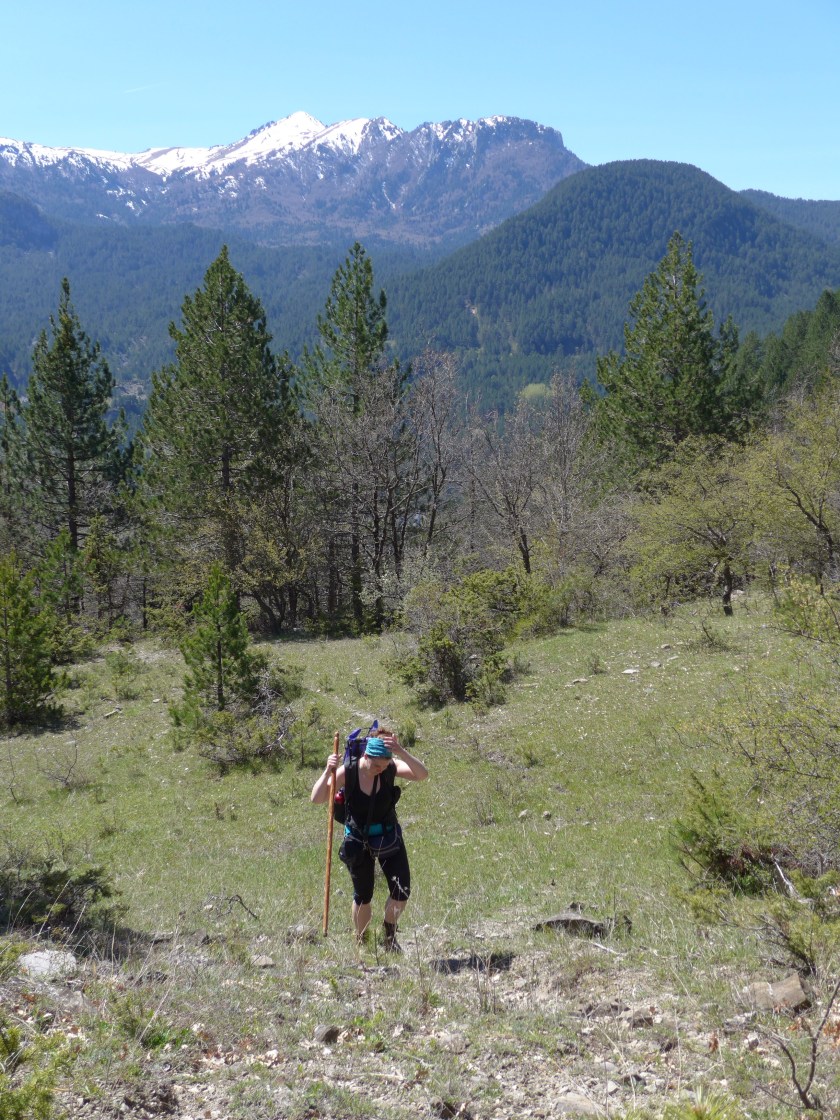
It takes a couple of days to cross Smólikas from this side and drop down to the north to Áyia Paraskeví in the next valley. Navigation is fairly straightforward. You climb through forest to around 2000m and head west along a reddish, fractured ridge, overlooking the beautiful ravine of of Vália Kírna, before passing below the secondary summit of Mósia and dropping steeply into a barren cirque where a patch of snow lies late, all that is left, I have been told, of the glacier that once carved the cirque.


Many of the people living hereabouts were embroiled in the bitterness and suffering of the Civil War. Many were taken off into the Communist world as children, to Albania, Romania, Czechoslovakia, and were only able to return many years later – the actual fighters were only allowed to return home in the late 70s and 80s, from exile in places as far away as Uzbekistan. Their original villages were abandoned, which is the case with Kefalokhóri, most of whose inhabitants came from Likórakhi, whose ruins an hour up the track are close to the start of the path up to Aetomilítsa, where the Communist army had its headquarters.
The path no longer appears even on the Anávasi map, but it is perfectly findable. We cleared and re-marked most of it in 2017 and it is a lot shorter than the narrow, continually subsiding road, that winds up to Aetomilítsa – Dénsiko by the old name.


I like to use these old names. Like the paths they have been used for centuries; they are patina-ed with history; and like the paths they are part of the nation’s heritage, the people’s – in the proper sense of that much abused word – history. They are like what the French call lieux de mémoire, places of memory: knots in the rope, things that tell people what and who they are.
Like the other Vlach villages Aetomilítsa only really comes to life in summer when the flocks return to the alpages. There are tavernas with rooms and sometimes a guesthouse and people are happy for you to camp by the church where there is a powerful spring.
And here you are practically at the end of The Pindos Way – for the moment at least. The last stage is long. There is no obvious place to camp, so you need to get out and back in the day (8-9hrs). You are above the trees really all the way, so navigation is not a problem. The classic route is to cross the wide horseshoe below Aetomilítsa to the shoulder opposite, and bear north, then north-west following the ridge, either on it or, for the first forty minutes or so, on the old military road just below to the right. You are around 2300m, so patches of snow can lie quite late. You do not get quite the same frisson today as you approach the rather desolate summit as you did it in the days when from the top you looked down on the Iron Curtain barely 200 metres away. The first time I stood up there, I watched a patrol of Albanian soldiers walking along the ridge, find a nice spot in the sun and lie down for a quick fag. I don’t know if they would have opened fire, but it certainly was not a good idea to stray across that frontier. At lower, more accessible altitudes it was marked by an electrified fence. And on the Greek side, searchlights lit up the nearest churches at night to remind the godless that God was still in charge not far away and the God-fearing – much of the population on Albania’s southern borders were ethnic Greeks and therefore Christian – that they were not forgotten.

")

Τμἡμα 4 Μἑτσοβο-Γρἁμο
Φλἑγγα, Βἁλια Κἁλντα, Βοβοὑσα (ξενὡνας), Δἱστρατο (δωμἁτια), Σαμαρἱνα (δωμἁτια, ξενοδοχεἱα)… Ὁσο προχωρἁς, πἁντα σε βλαχοτὁπια, τὁσο πιὁ εντυπωσιακἁ γἱνονται τα τοπἱα. Πανἑμορφα δἁση απὁ ἑλατα, πεὑκα και οξυἑς στις πιὁ κρυἑς πλαγιἑς. Βαθυἁ φαρἁγγια, του Αωοὑ και του Βἱκου στη παρἁκαμψη απὁ το Ζαγὁρι, του Σαμαρινιὡτικου και του Βουρκοπὁταμου στο Κερἁσοβο. Και σε ὁλο αυτὁ το κομμἁτι μἑχρι Σαμαρἱνα που βασικἁ περπατἁμε στο Ε6, τα προβλἡματα κατατὁπισης λὑθηκαν χἁρη στην πρωτοβουλἱα και στις ηρωικἑς προσπἁθειες ενὁς ανθρὡπου, Αποστὁλης Τσιμπανἁκος, που με τη παρἑα του το ἑχει καθαρἱσει και σηματοδοτἡσει το 2017.
Η μὁνη δυσκολἱα εἱναι το ξεκἱνημα απὁ το Μἑτσοβο. Για την ὡρα συμβουλεὑομε να πἁρετε ταξἱ μἑχρι τη δυτικἡ ὁχθη της λἱμνης στο σημεἱο που ξεκινἁει το δρομἁκι που ανεβαἱνει στο καταφὑγιο Μαυροβοὑνι (κλειστἁ, μα ἑχει εξωτερικὁ μἑρος να στεγαστεἱς. Για νερὁ ὁμως πρεπει να περπατἡσετε ἑνα τἑταρτο πιο ψηλἁ σε μἱα λἁκκα με μαντρἱ).
Μετἁ το Κερἁσοβο (Αγἱα Παρασκευἡ – δωμἁτια) πἁμε Δροσοπηγἡ, Κεφαλοχὡρι (θερμἡ υποδοχἡ στο ξενοδοχεἱο Φασοὑλης και ενδιαφἑρουσες ιστορἱες για μἁχες και εξορἱες και ἁλλες ταλαιπωρἱες της δεκαετἱας του 40) και τἑρμα, Αετομηλἱτσα (Ντἑντσικο – δωμἁτια). Το μὁνο βαρετὁ κομμἁτι εἱναι τα περἱπου 8χλμ ἁσφαλτος ανἁμεσα Δροσοπηγἡ και Κεφαλοχὡρι. Πριν απὁ 30 χρὁνια κατἑβηκα μἑχρι το Σαραντἁπορο (το μισὁ του δρὁμου) απὁ το μονοπἁτι. Πρἑπει να κοιτἁξομε να το ανοἱξομε ξανἁ.
Και το κομμἁτι Κεφαλοχὡρι-Αετομηλἱτσα θἑλει υπομονἡ και προσοχἡ αφὀυ ἑχει χρὁνια να πατιἑται τακτικἁ. Ακολουθἁς το ποτἁμι μἑχρι ἑνα στἁβλο πἁνω στη στροφἡ που ο δρὁμος (τρακτερὁδρομος) αρχἱζει και ανεβαἱνει για το εγκαταλειμμἑνο χωριὁ Λυκὁραχη. Ἁμα κοιτἁς λἱγο ΒΔ θα δεις να ξεπερἁσει λἱγο απὁ το σκοὑρο-πρἁσινο του δἁσους ἑνα ὑψωμα βρἁχωδες που λἑγεται Πἑτρα Μοὑκα. Θα περἁσετε στη ρἱζα σε δυτικἡ κατεὑθυνση να πἑσετε στο αυτοκινητὁδρομο λἱγο πριν μπει στο χωριὁ. Απὁ κει να φτἁσετε στη κορυφἡ του Γρἁμου και να γυρἱσετε θἑλει μἱα μἑρα. Θα περἁσετε απὁ το μνημεἱο που ἑστησε η τὁτε κυβἑρνηση για το τἑλος του εμφὑλιου τον Αὑγουστο του 1949. Βαδἱζεις ὁλο ρἁχη ρἁχη μἑχρι την κορυφἡ. Φαἱνονται ακὁμα λακκοὑβες απὁ πεσμἑνα πολυβολεἱα και θραὑσματα απὁ σκασμἑνους ὁλμους. Την πρὡτη φορἁ που στἁθηκα στη κορυφἡ ἡταν ακὁμα η εποχἡ του Σιδηροὑν Παραπετἁσματος και νιὡθαμε ἑνα μικρὁ ρἱγος φὁβου και περιἑργια που κοιτἁγαμε κἁτω στον απαγορευμἑνο Αλβανικὁ κἁμπο με τα ἡσυχα χωριἁ ὁπως φαινὁντουσαν απὁ ψηλἁ. Το σὑνορο περνοὑσε ακριβὡς στη ρἁχη και την ὡρα που κοιτἁγαμε ἑνα περἱπολο αλβανοὑς φαντἁρους ξἁπλωσαν στον ἡλιο για μἱα στἁση τσιγἁρο!
